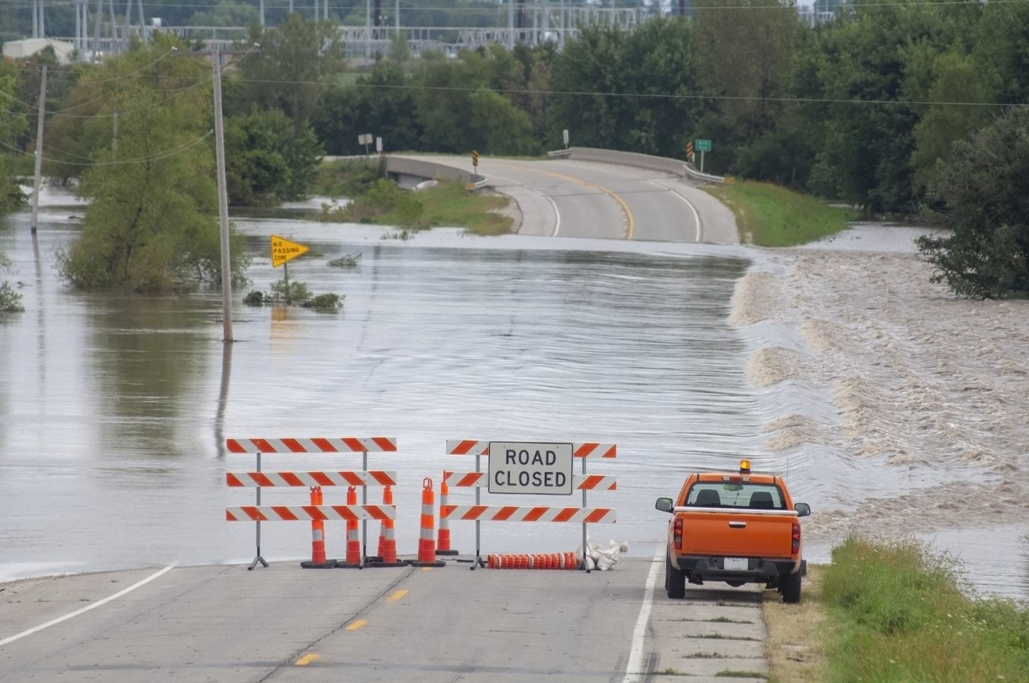
Caused by a variety of natural and manmade circumstances, floods can happen practically anywhere with little to no warning. However, there are some ways to detect the potential for a flood before it hits so you have more time to act and move to a safe place; and they all have to do with accurate and continual measurement. So, exactly how are floods measured? Read on to find out.
Who is responsible for measuring floods?
The National Weather Service (NWS) is, by law, responsible for issuing forecasts and warnings throughout the United States with the intention to save lives and reduce potential flood damages. Their River and Flood program relies most heavily on the accuracy of stream gauges placed strategically across the country to determine an area's flood risk in real time. At the same time, the U.S. Geological Survey (USGS) is responsible for operating those gauges and sending data to the NWS.
What are stream gauges?
Stream gauges are placed in bodies of water to monitor and test water level elevation. These gauges collect all the necessary data and send it to a data logging facility via phone telemetry or satellite. One type of stream gauge, known as the Automated Local Evaluation in Real-Time (ALERT), was designed specifically to monitor the risk of flooding in a given area and emit warnings if a flood is imminent. When the water level reaches a predetermined level or changes rapidly, the ALERT gauge will issue a warning through satellite.
How often are water levels monitored?
Water levels are constantly analyzed so the NWS can offer timely flood alerts across the country.
How do the NWS and USGS work together?
During a flood, the NWS and USGS work together to collect and analyze the most current hydrologic data. The USGS is responsible for collecting streamflow data from the gauges, while the NWS collects localized precipitation data. Then, these agencies combine their data to determine an area's risk for potential flooding.
What happens when an area is at risk for flooding?
If an area is at risk for potential flooding, the NWS will send alerts and information to local, state and federal decision-makers, as well as the general public. From there, the NWS hopes that decision-makers will take effective action to reduce flood losses. These actions may include evacuation orders, flood proofing, flood-fighting efforts or the complete shutdown of certain facilities, depending on how much time a community has to act based on the NWS's predictions.
.jpg)
What can I do if my area receives a flood warning?
Together, the NWS and USGS work hard to ensure that you get all the information you need before disaster strikes. If you receive a flood warning for your area and are advised to evacuate by local, state or federal officials, get out as soon as you can. The NWS's flood warnings can and do save lives.
For more information about floods and how you can prepare, visit the ServiceMaster Restore blog today.
Contact Us Anytime for Storm or Flood Damage Restoration
Do you need a storm damage repair company? Or do you need help recovering after a flood? Remember that the trusted professionals at ServiceMaster Restore are here 24/7/365 to see you through from crisis to recovery as quickly as possible.
We are available day or night to assist you. find your location and connect with local professionals ready to make quick work of your flood-related damage.
Recommended Further Reading

